Aquaculture provides a ready alternative source of protein and income that are otherwise sourced from wild fish catch. It is also one of the dollar earners for the country. In the case of the Caramoan Peninsula, aquaculture is very much practiced in the mangrove areas that have been cleared, excavated and diked for the purpose.
As a natural barrier, mangroves and related coastal forests serve a dual purpose: they protect the upland from the eroding action of seawater and at the same time, protect the marine ecosystem by trapping and filtering sediments from the uplands. Mangrove areas are specialized ecosystems serving as habitat for organisms that tolerate alternating fresh and saltwater periods or brackish environment.
Learn more about Mangroves here.
When mangrove forest are cleared to give way to fishponds and other developments, coastal areas lose their natural protection from the eroding action of moving water exposing the coastal communities to natural hazards. Toxicity also results when the soil is exposed to the air making the environment unsuitable for other species.
Probably with the exemption of small scale mining, these activities have cumulatively impacted on what has remained of the forests resulting to further shrinkage of the forest size and forest fragmentation.
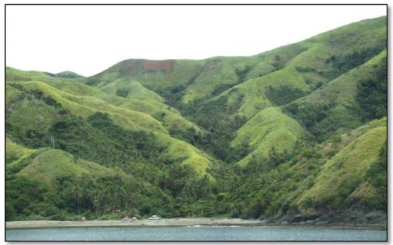
A picture showing fragmentation of the forests in the uplands of Caramoan.
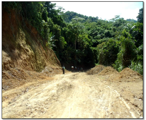
As forests lose their cover, the ability of the topsoil to resist erosion is lessened in high precipitation events. Sediments deposited on the river floor and sea beds hamper biological processes that could result to lower yields. Other disturbances from human activities like road construction also contribute to the process.
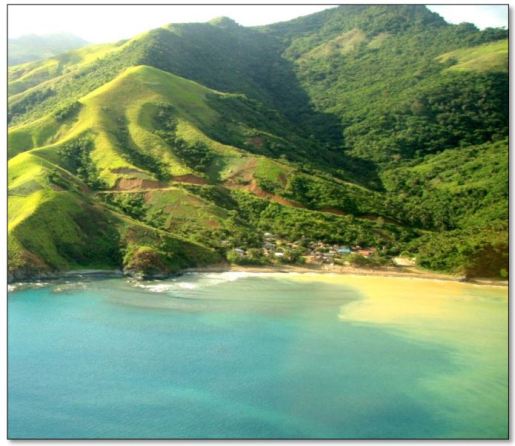
Picture showing siltation along the Caramoan Coast.